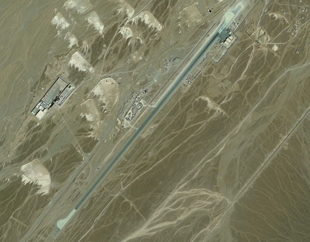
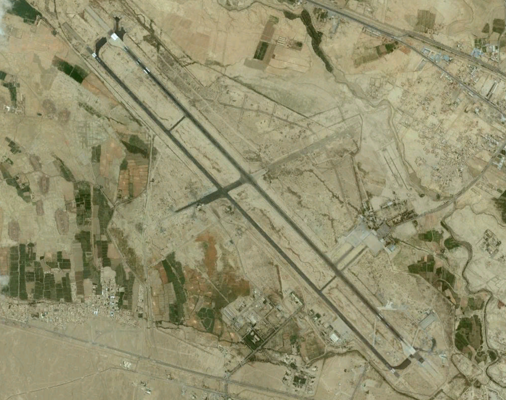
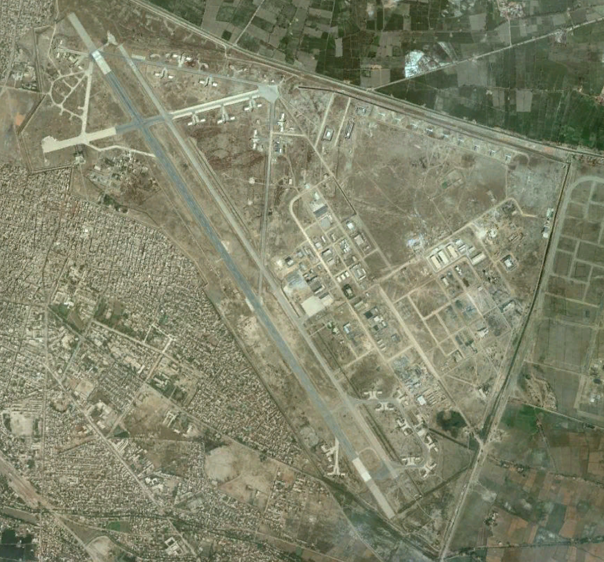
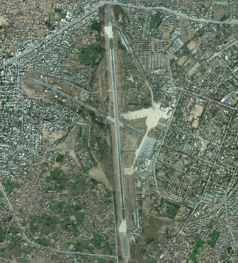
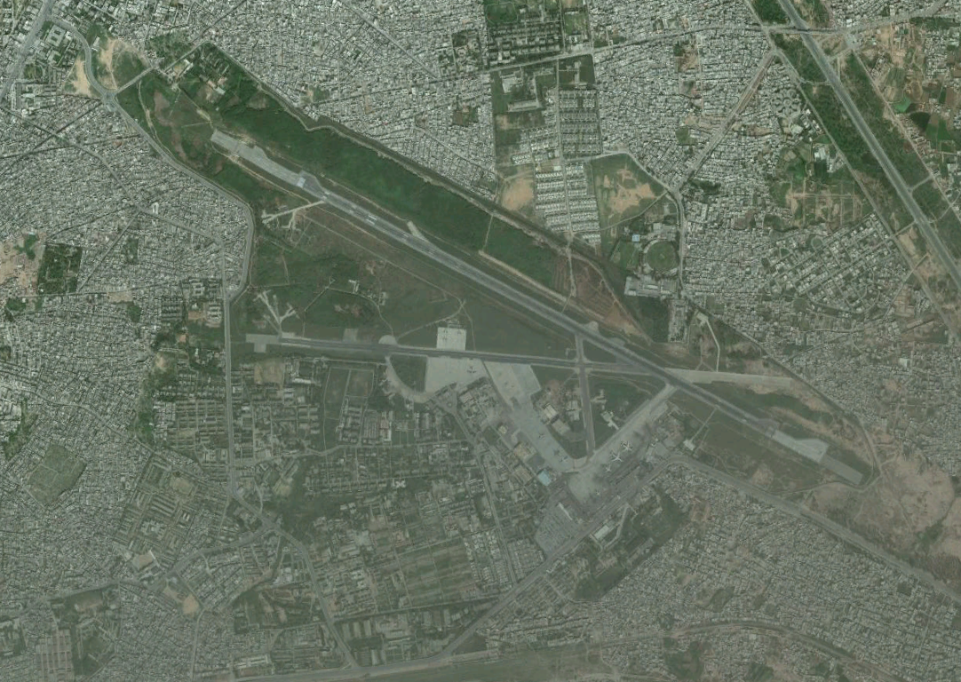
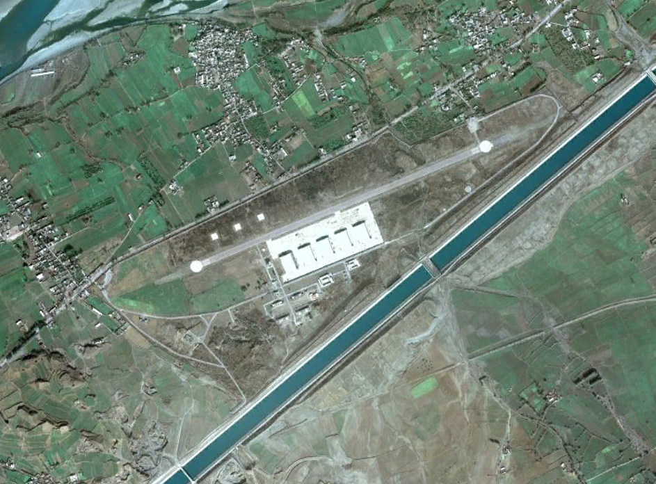
The following interactive map was compiled from information reported by the Bureau for Investigative Journalism. It displays the names and locations of airfields/bases inside of Pakistan that have been or are currently being used by U.S. forces. Some of the bases are used for logistical support, while others such as Shamsi airfield, were previously used by the CIA to launch drone operations. According to the Bureau for Investigative Journalism, one of the airfields at PAF Base Shahbaz may still be used for launching drones.

