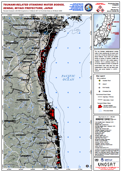
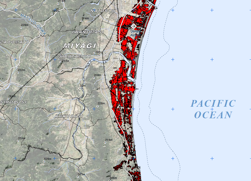
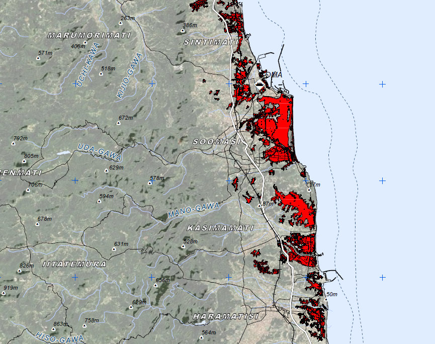
TSUNAMI-RELATED STANDING WATER BODIES, SENDAI, MIYAGI PREFECTURE, JAPAN
- 1 page
- March 17, 2011
This map illustrates satellite-detected standing bodies of water remaining after the tsunami event over the city of Sendai and affected areas south in Miyagi Prefecture. Flood waters were identified through an analysis of Radarsat-2 satellite data recorded 12 March 2011 with a medium degree of confidence. This is a preliminary analysis & has not yet been validated in the field. It is possible that tsunami-related water bodies areas have been underestimated in areas with high debris levels. Please send ground feedback to UNITAR / UNOSAT.


