 Naval Surface Warfare Center
- 46 pages
- Distribution Statement D
- For Official Use Only
- December 2009
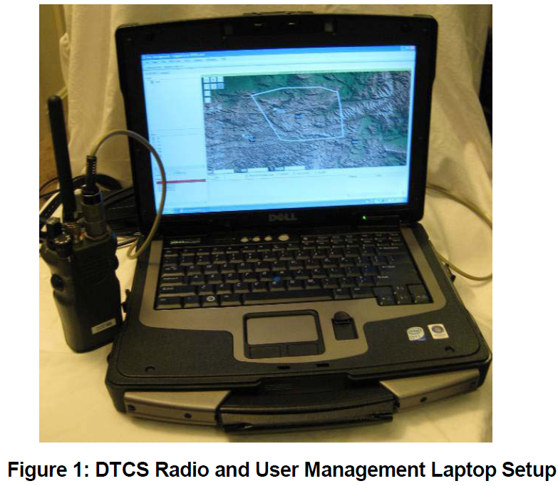
The Distributed Tactical Communications System (DTCS) is an experimental, satellite-based, communications system that incorporates Iridium satellite technology, software, and commercial GPS. DTCS was developed in direct response to the needs of the warfighter to explore new and innovative Command and Control (C2) technology. DTCS provides Beyond Line-Of-Sight (BLOS), Over-The-Horizon (OTH), and On-The-Move (OTM) communications, in a handheld, lightweight, one-to-many, tactical voice and data radio.
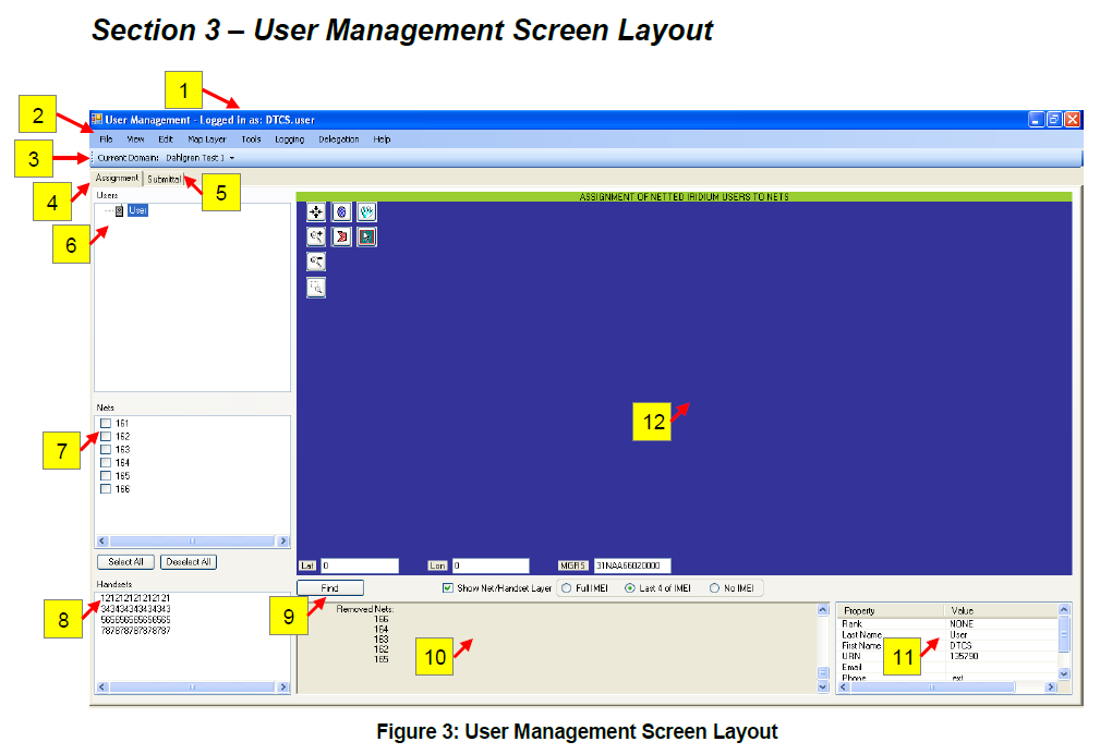
The User Management (UM) portion of the Field Application Tool (FAT) provides a flexible, Graphical User Interface (GUI)-based method for managing DTCS radios. Based on the Communications Electronics Operating Instruction (CEOI), you will know what the directed function of each DTCS net is, which nets you have been delegated the capability to participate in, and which nets you not only participate in but also serve as the “owner” or manager. The primary function of User Management is to assign from the DTCS nets that are available to you, the specific nets that you want to provide on each of your DTCS radio handsets. In doing so, you also assign the order in which they should appear on the handset’s Net Selection knob. These assignments are then submitted via the attached handset to the Net Manager (NM), where the changes are actually made. The Net Manager will verify the net-handset assignments you requested match the current nets and handsets delegated for your user account and will then execute the changes. Feedback is provided in User Management on whether this process was successful, or any issues that might have arisen.
In addition, User Management provides the capability to build user and command structures to assist in asset management and distribution. A map function is also available as a visual aid in assigning nets to units operating over larger geographical areas.
In the future, the FAT application will be expanded beyond User Management to assist with detailed scenario-based planning. It will include DTCS satellite modeling to provide satellite coverage predictions which account for time, terrain, and location.
…


