 Open Source Center Analysis
- 4 pages
- For Official Use Only
- January 21, 2010
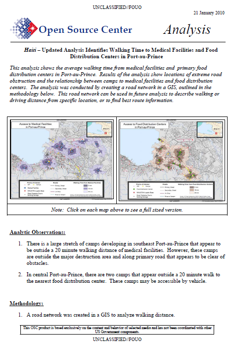
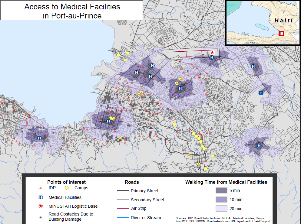
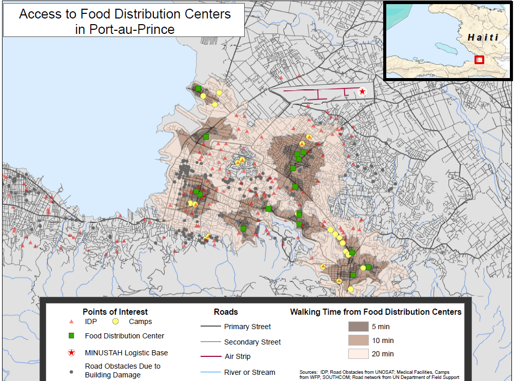
This analysis shows the average walking time from medical facilities and primary food distribution centers in Port-au-Prince. Results of the analysis show locations of extreme road obstruction and the relationship between camps to medical facilities and food distribution centers. The analysis was conducted by creating a road network in a GIS, outlined in the methodology below. This road network can be used in future analysis to describe walking or driving distance from specific location, or to find best route information.
…
Analytic Observations:
1. There is a large stretch of camps developing in southeast Port-au-Prince that appear to be outside a 20 minute walking distance of medical facilities. However, these camps are outside the major destruction area and along primary road that appears to be clear of obstacles.
2. In central Port-au-Prince, there are two camps that appear outside a 20 minute walk to the nearest food distribution center. These camps may be accessible by vehicle.
Methodology:
1. A road network was created in a GIS to analyze walking distance.
2. Walking speed was assumed to be an average of three miles per hour.
3. Obstacles, generated from UNOSAT1 data, were used as barriers to travel when they occurred within 50 meters of a road.
4. Walking time was measured along the road network outward from the Primary Food Distribution Sites, as relayed to OSC by SOUTHCOM.
Capabilities of Travel Analysis:
1. Travel analysis can be used to determine distance or time from points of interest along road network with consideration to road barriers.
2. Travel analysis can be changed to accommodate vehicle or other transportation.
3. Routes to and from points of interest may be derived with consideration to road barriers.
…


