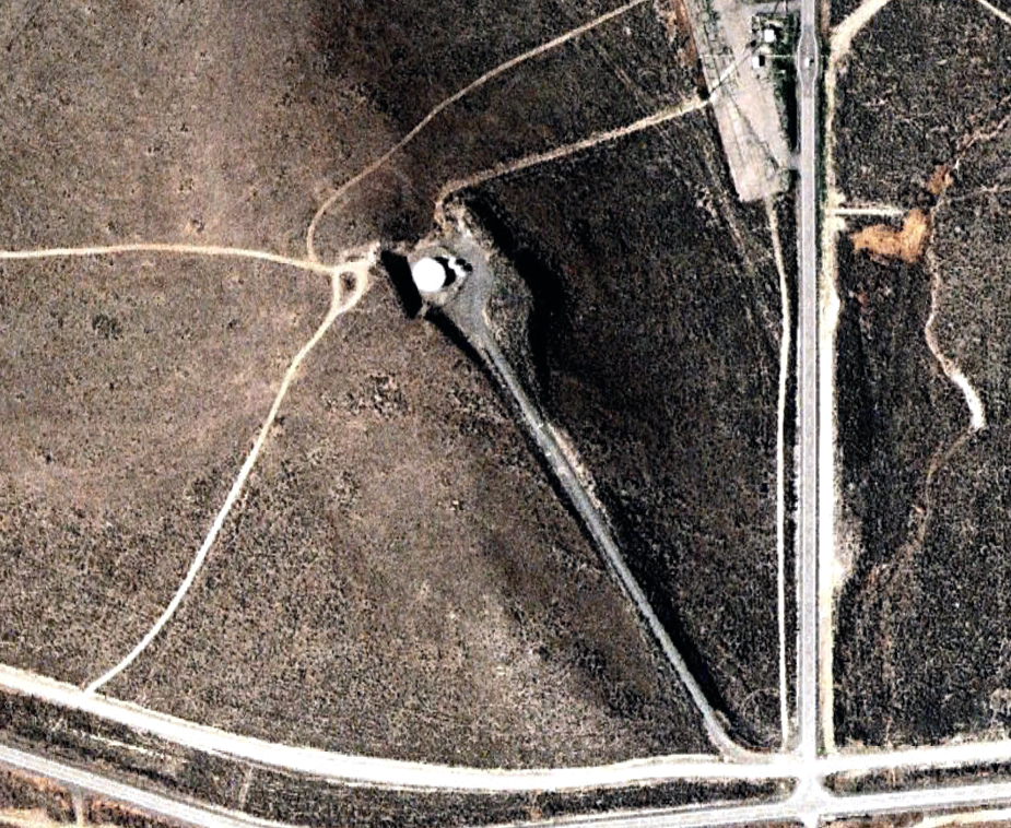
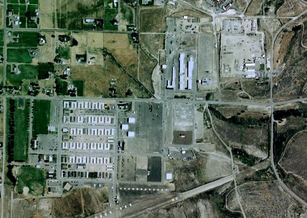
The Yakima Training Center (YTC) is a United States Army training center (Army maneuver training and live fire area) located in south central Washington state. It is bounded on the west by Interstate 82, on the south by the city of Yakima, on the north by the city of Ellensburg and Interstate 90, and on the east by the Columbia River. It comprises 327,000 acres (132,332 hectares) of land, most of which consists of shrub-steppe, making it one of the largest areas of shrub-steppe habitat remaining in Washington state.1
According to a 2001 report by the European Parliament, the Yakima Training Center is also an integral part of the ECHELON global communications interception system.
History
From GlobalSecurity.org:
Yakima Training Center (YTC), also known as Yakima Firing Center (YFC), is an Army maneuver training area located in central Washington northeast of the town of Yakima and west of the Columbia River. Although designed for Army use, the main impact area (MIA) and Multi-Purpose Range Complex (MPRC) are approved for use for conventional and tactical weapons deliveries. See attachments 1 and 2. The MIA is used primarily for tank, artillery, and infantry gunnery. The MPRC is a tank and infantry firing range consisting of numerous remotely controlled moving and pop-up targets. A FAC (either AFAC or GFAC) must be present to provide positive control to flights desiring to expend at YTC. In this case, Yakima becomes a Class “B” range. See Chapter 5 for additional ground safety requirements. At discretion of Range Control, a FAC may not be required for orientation/range familiarization or other flights where no ordnance will be expended.
YTC is approximately 25 nautical miles by 21 nautical miles, including the impact area. The terrain is undulating and dominated by three east-west parallel ridges with large intervening valleys. Vegetation consists primarily of sagebrush, bitter brush, and bunch grasses. Average precipitation is six to nine inches per year, mostly snow. Winters are severe and summers are hot and dry. Temperatures range from below 0ºF in winter to above 100ºF in summer. The Yakima Firing Center is located in a small east-west oriented valley near the upper part of the Yakima Valley. Topography is complex with numerous minor valleys and ridges giving a variation in altitude of up to 2000 feet. This variation in local relief makes for a significant variation in winds and temperatures over short distances. This valley has a climate that is relatively dry and mild. Its weather is modified by the Cascade Mountains to the west and the Rocky Mountains to the east. Summers are dry and tend to be hot, and winters are cool with occasional light snowfall. Precipitation patterns follow that of the Fort Lewis area with a late fall and early winter maximum. However, due to the Cascades, total precipitation amounts are small. Summers are sunny with clear skies 80 percent to 85 percent of the time. Winds are generally light with speeds averaging less than 10 mph. Wind speeds of over 40 knots are only recorded about three times a year. A peak gust of 48 knots has been recorded at Yakima Municipal Airport. Prevailing wind direction is from the west in the winter and from the west-northwest during the summer. However, gusts up to 70 knots have been recorded at higher elevations in the firing center.
ECHELON Intercept Station
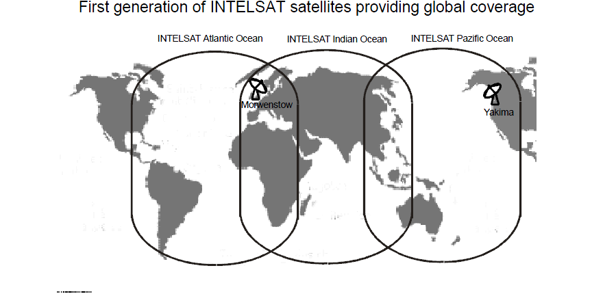
The European Parliament’s 2001 “Report on the existence of a global system for the interception of private and commercial communications (ECHELON interception system)” describes the Yakima facility as an integral part of the ECHELON system. According to the report, as early as the 1970s the Yakima station was capable of intercepting all INTELSAT communications originating within the Pacific region:
In the early 1970s the Yakima station was established in the north-western USA and in 1972/73 the Morwenstow station was built in southern England. At that time, Yakima had one large antenna (trained towards the Pacific) and Morwenstow had two large antennae (one trained towards the Atlantic, the other towards the Indian Ocean). By virtue of the location of the two stations, all communications could be recorded.2
The following possible satellite intercept capabilities are listed in the EU Parliament’s 2001 report:
| INTELSAT 802 (174°), 702 (176°), 701 (180°) GORIZONT 41 (130°E), 42 (142°E), LM- 1 (75°E) INMARSAT Pacific area |
Waihopai, New Zealand Geraldton, Australia Pine Gap, Australia Misawa, Japan Yakima, USA – only Intelsat and Inmarsat |

A map of later coverage capabilities, also from the EU Parliament's 2001 report.
An article from the Seattle Post-Intelligencer elaborates on the YTC facility’s dual-purpose role as an ECHELON station:
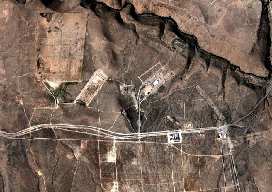
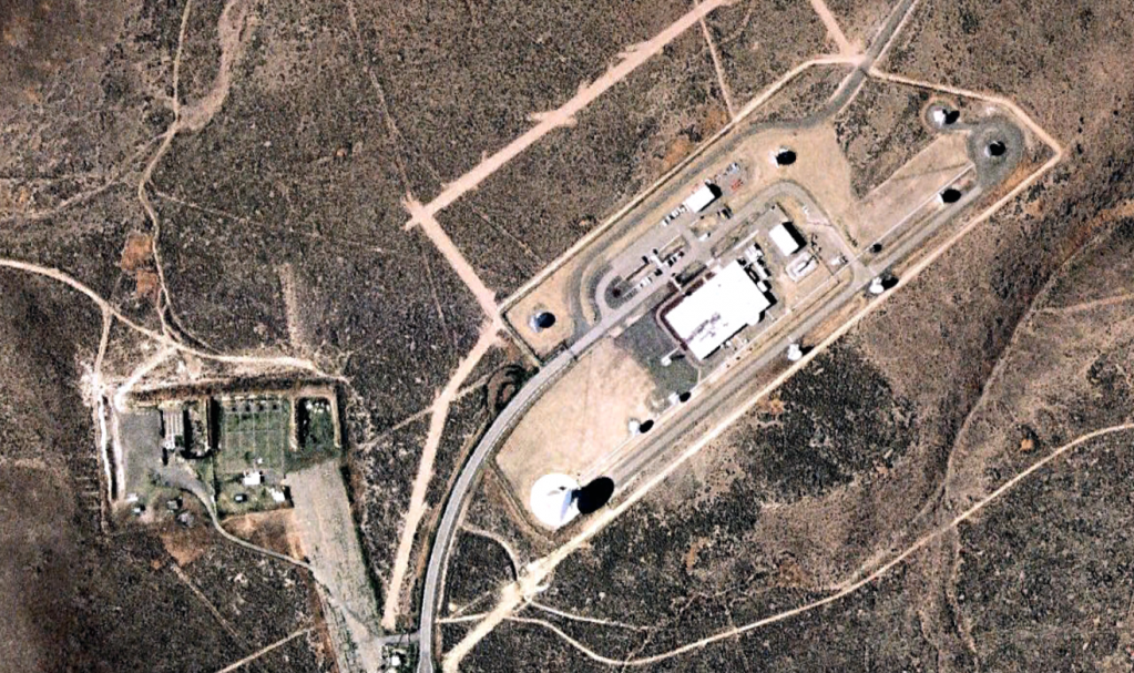
Just a few miles north of town, the National Security Agency is eavesdropping on the world with satellite dishes that pick up satellite and microwave signals from cell phones, e-mails and home phones.
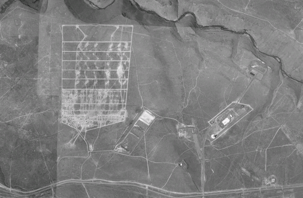
The listening post has a view of Interstate 82 from its location on the Army’s gigantic Yakima Training Center, but it may be one of the best-kept secrets in the Pacific Northwest.
That could change during the debate about the Bush administration’s surveillance of domestic communications with parties overseas.
“In the entire country, it happens to be in your back yard,” said James Bamford, a former network news investigative producer who documented the Yakima installation in his 1982 book about the NSA, “The Puzzle Palace.”
“It doesn’t make noise, doesn’t send smoke,” he said. “It’s almost invisible. The whole agency is virtually invisible.”
Bamford and others keyed into electronic eavesdropping say the Yakima Research Station has played a major role for decades in Echelon, the global surveillance network operated by the NSA and its counterparts in the British Commonwealth — Britain, Canada, Australia and New Zealand.
And it has a sister installation in Sugar Grove, W.Va.
Created by a secret executive order signed by President Truman in 1952, the agency spent its early days doing wiretaps of telephones and telegraph lines. By the late 1960s, it had a growing array of listening posts capable of intercepting satellite signals.
Because the Earth is curved, intercepting satellite communications takes teamwork. The result is Echelon and its network of listening posts. The biggest is thought to be at Menwith Hill north of London.
Passers-by can see the satellite dishes from the freeway north of Selah, but that’s as close as they’re likely to get.
Access is severely restricted, enforced by its location inside a 260,000-acre Army base used primarily for artillery training and target practice.
The base’s official Web site does not mention the installation.
“We really don’t have any comment about the research station,” center spokesman Jim Reddick told the Yakima Herald-Republic newspaper last week.
Aerial Photos
Share this:
Source notes:
- Yakima Training Center. Wikipedia. Accessed July 1, 2010. http://en.wikipedia.org/wiki/Yakima_Training_Center [↩]
- 2001 EU Parliament Report: Echelon Global Private and Commercial Communications Interception System. European Commission, Temporary Committee on the ECHELON Interception System. July 11, 2001. https://publicintelligence.net/2001-eu-parliament-report-echelon-global-private-and-commercial-communications-interception-system/ [↩]

