Red River Flooding: North Dakota, South Dakota and Minnesota
- 10 pages
- For Official Use Only
- April 2, 2009
This situation report is developed for DHS senior leadership. The report provides overall situational awareness on Federal remote sensing activities supporting emergency management operations in North Dakota, South Dakota and Minnesota. The following information is derived from multiple sources across the Federal remote sensing community. The report will be updated as new information becomes available.
…
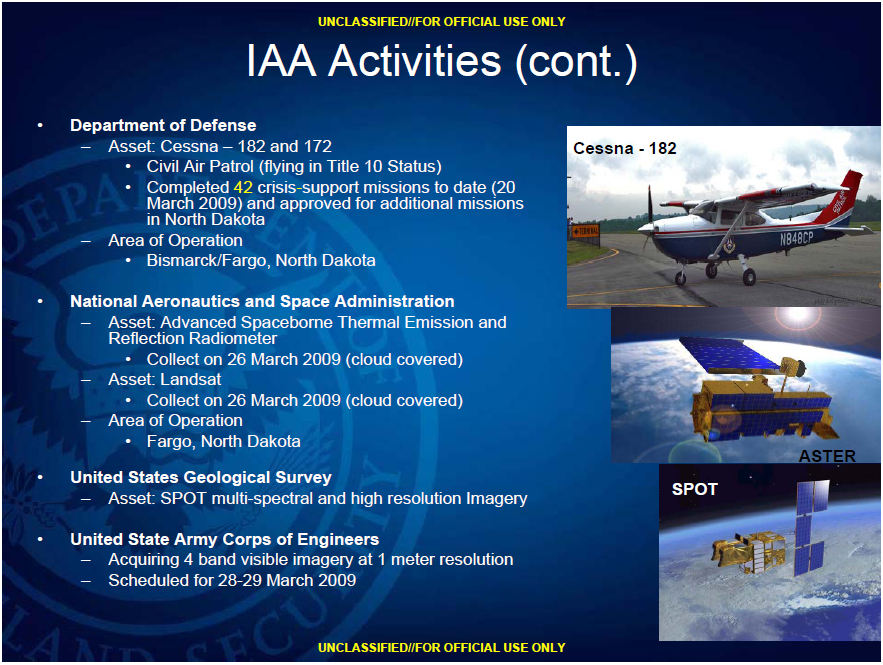
Incident Awareness and Assessment (IAA) Activities
• Department of Homeland Security
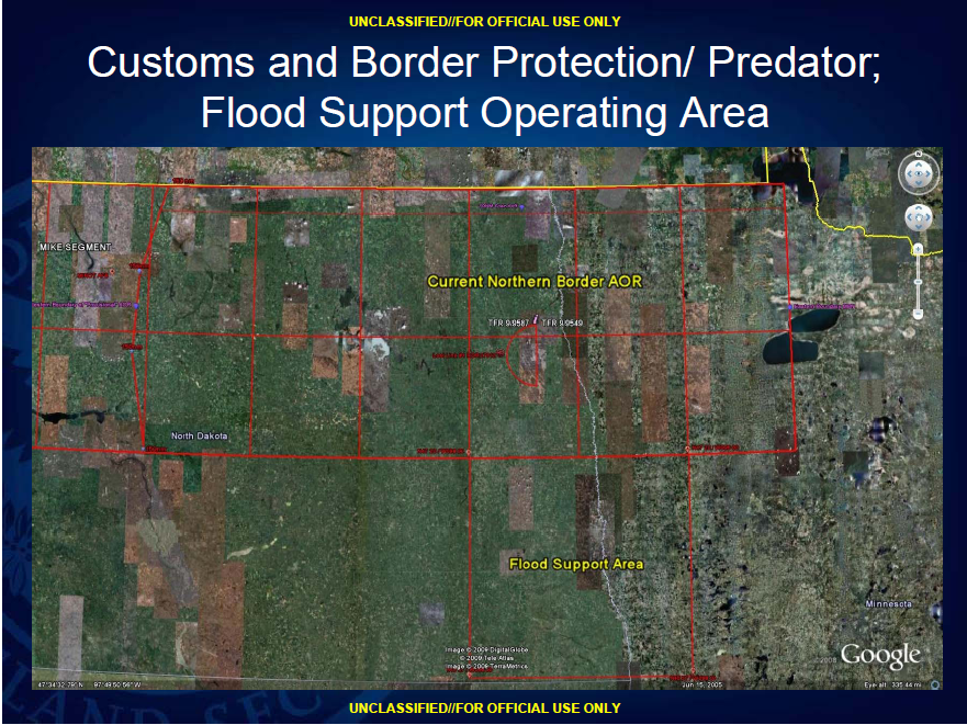
– Customs and Border Protection
• Asset: MQ-9 Predator
– Certificate of Authority approved from 23 March through 22 April 2009
– Flying crisis-support operations today 2 April 2009 in North Dakota
• Sensor/Coordinates:
– Electro-Optical/Infrared, Synthetic Aperture Radar and Full Motion Video
– Received Mission Assignment from the Federal Emergency Management MQ-9 Agency to support:
» North Dakota Emergency Operations Center
» Minnesota Homeland Security/Emergency Management Agency
…


