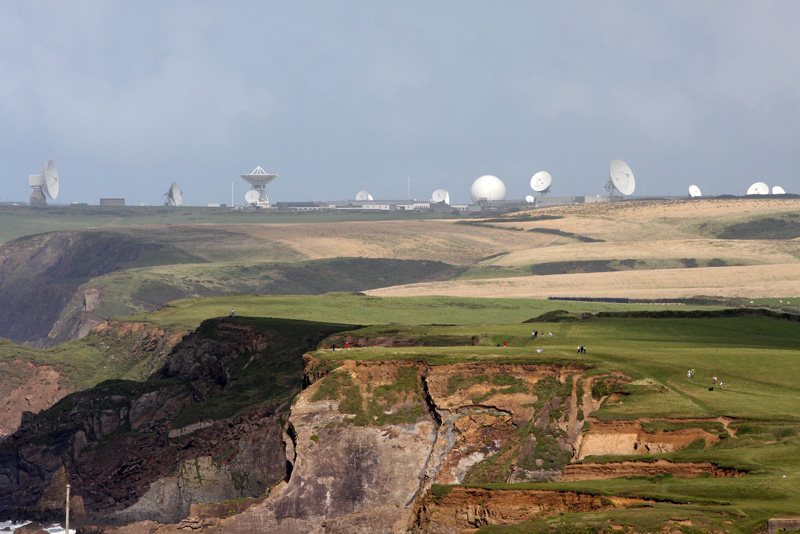
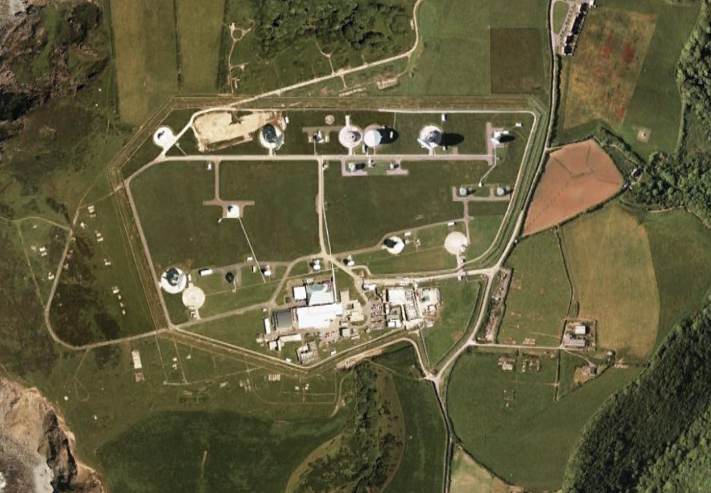
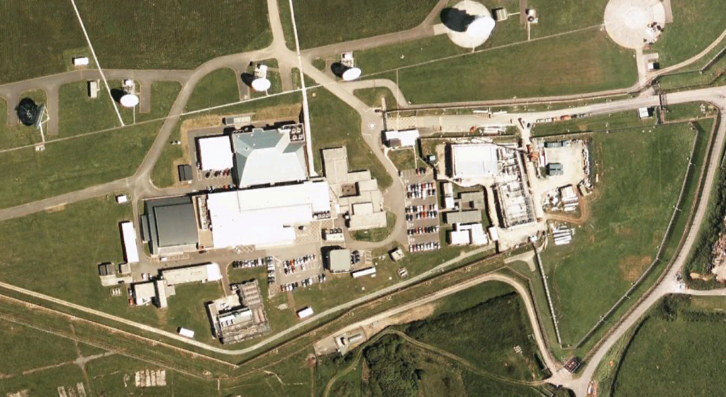
GCHQ Bude, formerly known as the the GCHQ Composite Signals Organisation Station (CSOS) Morwenstow, is a satellite ground station located on the north Cornwall coast between the small villages of Morwenstow and Coombe, UK operated by the British signals intelligence service (GCHQ) on the site of the former World War II airfield, RAF Cleave.
Staff are drawn from GCHQ (UK) and the NSA (U.S.) and the station is operated under the UKUSA agreement, gathering data for the ECHELON signals intelligence (SIGINT) network. Comparable stations in operation include Menwith Hill (UK), Sugar Grove (West Virginia, U.S.), Yakima (Washington, U.S.), Sabana Seca (Puerto Rico), Misawa (Japan), Pine Gap (Australia), Geraldton (Australia), GCSB Waihopai (New Zealand) and GCSB Tangimoana (New Zealand) that cover other INTELSAT areas such as South America and the Pacific Ocean. GCHQ Bude is located about 100 km from the commercially operated Goonhilly Satellite Earth Station that handles civilian communications which was closed in 2008.1
Intercept Capabilities and Satellite Communications Networks
The station comprises twenty one satellite antennas of various sizes (including three that have a diameter of 30 m) that could theoretically cover all the main frequency bands: L band, C band, Ku band, X band, Ka band and V band. Calculated on the basis of their position, their elevation and their compass (azimuth) angle the antennae are generally orientated towards satellites of the INTELSAT, INTERSPUTNIK and INMARSAT communications networks over the Atlantic Ocean, Africa and the Indian Ocean, as well as towards the Middle East and mainland Europe. The activities of GCHQ Bude usually remain classified, however, partly in response to concerns expressed by some EU member states that Morwenstow is responsible for industrial espionage and the interception of civilian communications, a report by the European Parliament was made public in 2001 that provides some details about the station. The following table from that report presents potential satellite networks that may be connected with the Morwenstow intercept station. 2
| INTELSAT 604 (60°E), 602 (62°E), 804 (64°E), 704 (66°E) EXPRESS 6A (80°E) INMARSAT Indian Ocean area |
Geraldton, Australia Pine Gap, Australia Morwenstow, England Menwith Hill, England |
| INTELSAT 805 (304,5°), 706 (307°), 709 (310°) 601 (325,5°), 801 (328°), 511(330,5°), 605 (332,5°), 603 (335,5°), 705 (342°) EXPRESS 2 (14°W), 3A (11°W) INMARSAT Atlantic area |
Sugar Grove, USA Sabana Seca, Puerto Rico Morwenstow, England Menwith Hill, England |
| INTELSAT 707 (359°) | Morwenstow, England Menwith Hill, England |
Contact Address
(Contact information taken from previous registration with Cornwall)
CSOS Morwenstow
Government Communications HQ
Bude
Cornwall
EX23 9JJ
Aerial Photos
Share this:
Source notes:
- GCHQ Bude. Wikipedia. Accessed June 26, 2010. http://en.wikipedia.org/wiki/GCHQ_Bude [↩]
- 2001 EU Parliament Report: Echelon Global Private and Commercial Communications Interception System. European Commission, Temporary Committee on the ECHELON Interception System. July 11, 2001. https://publicintelligence.net/2001-eu-parliament-report-echelon-global-private-and-commercial-communications-interception-system/ [↩]


